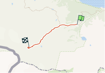

23 km | 45 km-effort


Tous les sentiers balisés d’Europe GUIDE+


Application GPS de randonnée GRATUITE
 SityTrail
IGN / Instituts géographiques
SityTrail World
Le monde est à vous
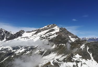
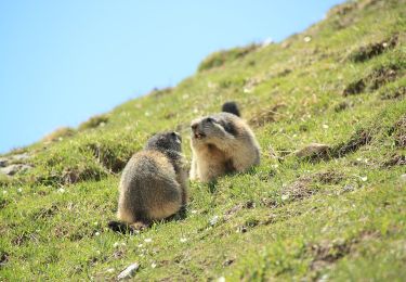
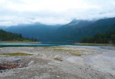
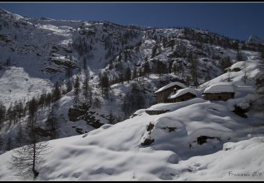
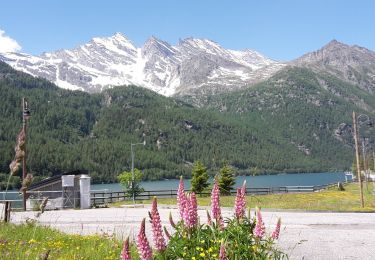
Randonnée A pied de 3 km à découvrir à Piémont, Turin, Ceresole Reale. Cette randonnée est proposée par SityTrail - itinéraires balisés pédestres.
Symbole: 525 on white red flag
A pied


A pied